Reading Cumulus Growth: A Field Guide for Amateur Storm Chasers
Cumulus clouds are, without exaggeration, the most expressive weather-makers of the lower atmosphere. To the casual observer they look like harmless cotton puffs drifting across a blue sky, but to a trained amateur they contain a running commentary on humidity, atmospheric stability, and the likelihood of afternoon convection. Learning to read cumulus growth is one of the single highest-leverage skills a hobby observer can build, because it turns a random glance at the sky into a genuine short-term forecast — sometimes hours ahead of what an app can offer.
The first thing to notice is the base of the cloud. A crisp, flat, well-defined base tells you the level at which rising air condenses — the lifted condensation level. When you see many cumulus around the sky all sitting on a shared invisible shelf, that shelf is the LCL, and it will drift up or down through the day as the surface heats and dries. A low, ragged, dark base early in the day means the boundary layer is already moist; a high, thin, bright base means the atmosphere is dry and convection will struggle to grow tall.
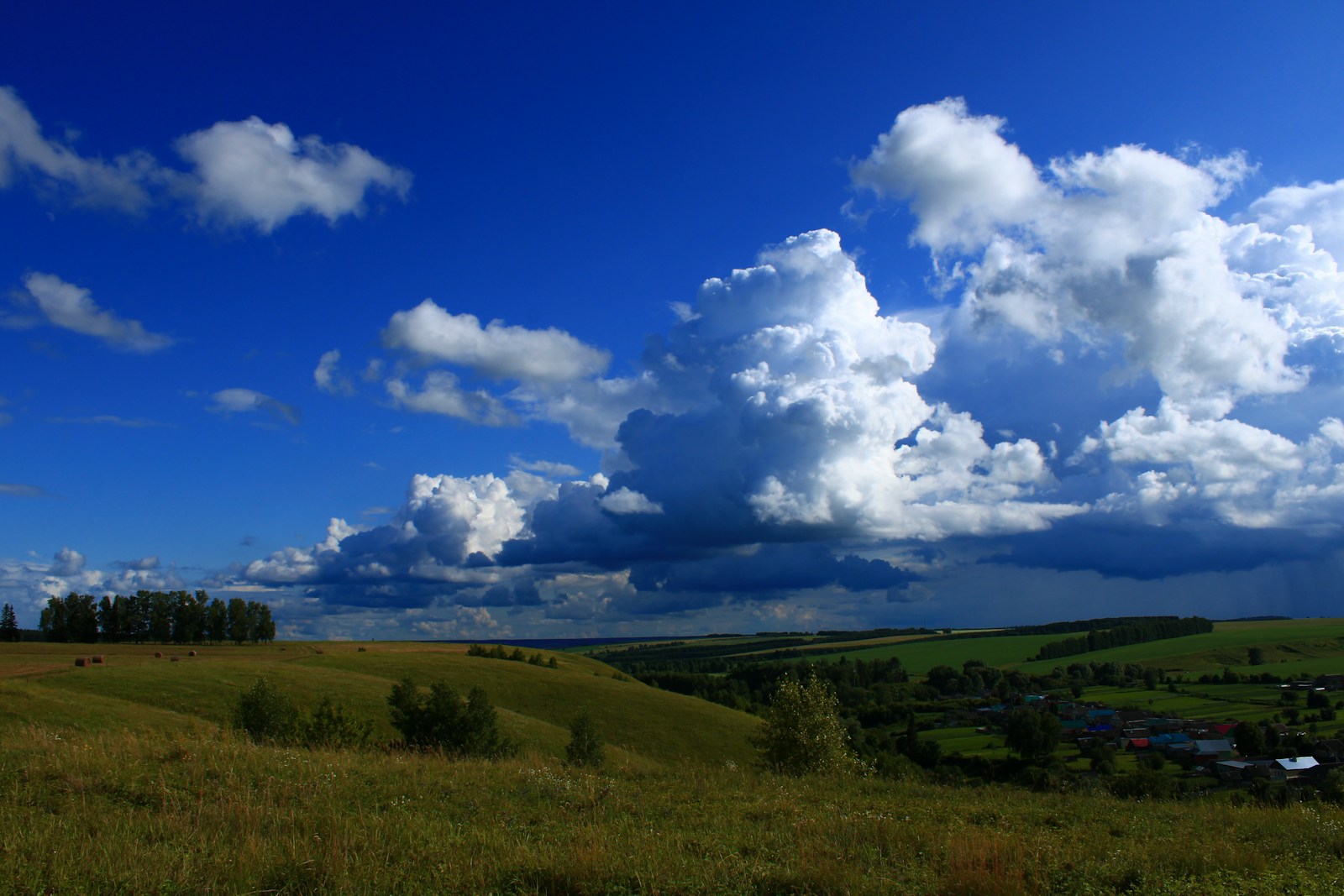
Vertical development is the second, and most decisive, cue. Fair-weather cumulus — cumulus humilis — is wider than it is tall. It marks a stable atmosphere. Once you see cumulus that is clearly taller than it is wide, with hard cauliflower turrets pushing up through their own tops, you have cumulus mediocris and the atmosphere is unstable enough to feed the column. If those turrets keep climbing and start to lose their sharp edges, softening into a soft, streaky top, glaciation has begun: ice crystals are forming near the top and the cloud is transitioning toward cumulus congestus or cumulonimbus. That soft, fibrous crown is the single clearest amateur signal that a storm is possible within the next hour or two.
Edge sharpness is the third cue and the one most amateurs skip. A young, healthy updraft has hard, chiselled edges because the air rising inside it is warmer and more buoyant than its surroundings, so it does not mix. A dying cumulus has fuzzy, ragged, cauliflower-melting-into-cotton-wool edges — the updraft has weakened, dry air is entraining from the sides, and the cloud is evaporating. Reading edges from left to right across the sky tells you which cells are growing and which are collapsing, which in turn tells you the direction from which fresh convection is being fed.
Timing matters as much as morphology. Over land in the mid-latitudes, cumulus that begins to grow vertically before 11 a.m. local time is a strong hint that the afternoon will be convectively active. If nothing has developed by 2 p.m. despite clear skies and warm surface temperatures, an inversion is capping the boundary layer and storms are unlikely no matter how warm it feels. Amateur observers who log first-cumulus time daily quickly build an intuition for their local convective climate that no forecast product can match.
Base darkness is often misread. A dark base does not automatically mean rain. It means the cloud is thick enough that little sunlight reaches its underside. A tall cumulus congestus can have a very dark base and still be dry; a thin nimbostratus sheet can be pale grey and rain steadily for hours. The correct amateur read is to combine base darkness with vertical development: dark base plus tall turrets equals imminent shower; dark base plus flat top equals a passing thicker cloud with no rain.
Wind shear leaves fingerprints too. If cumulus tops lean noticeably downwind while the bases stay in place, upper-level winds are stronger than surface winds and any storm that forms will move quickly and possibly organise. If tops and bases stay stacked vertically, storms will be slow-moving and can dump large amounts of rain in one place — a flash-flood signature. This is a genuinely useful piece of information for anyone planning a hike in a canyon or a picnic in a valley.
Finally, learn to read the empty spaces between cumulus. When the gaps between clouds are deep, sharp, and blue, the descending air between updrafts is dry and the atmosphere is well-mixed — a healthy convective day. When the gaps look milky, hazy, or crowded with small ragged fragments, the boundary layer is moist and messy, updrafts are competing with each other, and any storm that forms is likely to be disorganised, wet, and short-lived.
Put together, these five cues — base height, vertical development, edge sharpness, growth timing, and inter-cloud gap quality — turn a blank blue sky into a legible forecast. None of them requires an instrument. All of them reward patience. Spend a summer logging first-cumulus times, tallest-turret times, and end-of-convection times against actual weather outcomes, and you will develop a genuinely useful short-range forecast skill that no consumer weather app currently replicates.